Road Biking

North Touchet to Bluewood
This ride is 22.2 miles long with elevation change from 1,604 feet above sea level to 4,521.

Patit to the Hardstock
This ride is 14.2 miles long with elevation change from 1,604 elevation to 3,287 feet.

Harding Grade loop
This ride starts off at Flour Mill Park riding down the Touchet river dike and has a climb up 676 feet and back down looping onto Highway 12 back into town. The ride is 11.2 miles long.
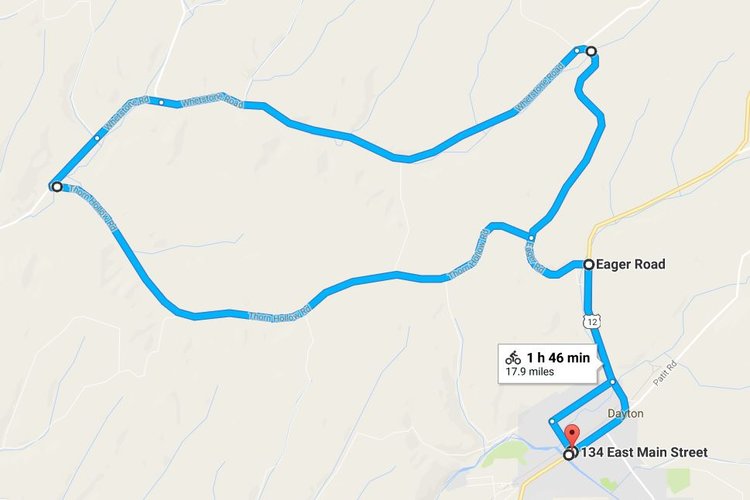
Whetstone loop
This 17.9 mile ride through fields of wheat and peas has two 1,000 foot elevation climbs.

Mckay ALto loop
This four-hour ride has four elevation rises all between 2,000 and 2,300 feet before dropping back into town at 1,604 feet.
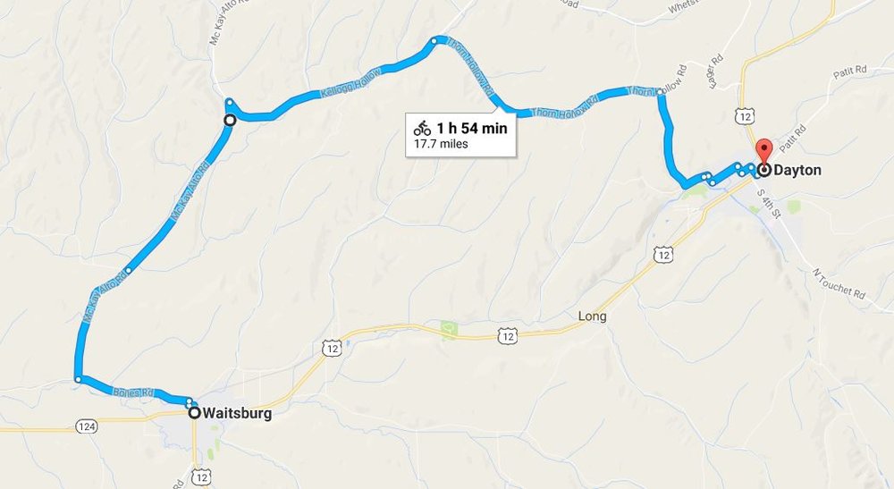
Waitsburg to Dayton
This 17.7 mile ride starting in Waitsburg has 1,230 foot elevation climb coming down 830 feet to end in Dayton.